Explore by hazard or location
Flood
Understand mapped flood zones and the questions they raise.
Explore flood → 02 / FireWildfire
Learn about wildfire exposure and property preparedness.
Explore wildfire → 03 / EarthEarthquake
Get familiar with seismic hazards and insurance questions.
Explore earthquake → 04 / WeatherWind & storm
Explore hurricane, wind, and storm-surge context.
Explore storms →Every property has a local story.
Find state-specific hazard guidance, practical questions, and official resources.
Find a guide for your question
577 articles · Page 1 of 25
Congaree River Flood Warning in Calhoun, Lexington and Richland: Crest timing and what to watch
Active Flood Warnings on the Congaree River cover parts of Calhoun, Lexington, and Richland, with a Tuesday morning crest forecast. Here’s how this could affect access points and what nearby homeowners can do now.
How to Compare Two Homes With a Property Due Diligence Worksheet
Two homes can have similar asking prices and very different ownership questions. One may come with detailed roof records and unclear drainage history. Another may have recent inspection information but incomplete documentation for an addition. A useful comparison makes those differences visible before you decide which home fits your plans.
California Defensible Space Questions to Ask Before Buying
Defensible space belongs in a California homebuyer’s research before the moving truck arrives. The question is not simply whether the yard looks tidy. You need to understand the available records, the property’s maintenance needs, the authority responsible for guidance, and the work you would take on as an owner.
Flood Map or Elevation Certificate What Each Tells a Homebuyer
A flood map and an elevation certificate can both help you understand a property, but they are different records. The map provides mapped flood hazard information for an area. The certificate records specified information about a particular building, including elevation-related details. Reading them together can produce better questions than relying on either document alone.
Red Flag Warning today for parts of eastern Wyoming and the Nebraska Panhandle
A Red Flag Warning is in effect from noon to 7 PM MDT for parts of eastern Wyoming and the Nebraska Panhandle, including Pine Ridge/Nebraska National Forest and Thunder Basin. Critical fire weather means small sparks can spread quickly—here’s how to lower risk around your home today.
Wind Storm Surge and Heavy Rain Three Coastal Home Questions
When someone says a coastal home has “hurricane risk,” the phrase can hide several different questions. Wind can affect the building. Storm surge can bring coastal water onto land. Heavy rainfall can create flooding well beyond the shoreline. These mechanisms deserve separate attention because a single storm can involve more than one of them.
Black Hills Red Flag Warning (Oct 9): What it means for your home
A Red Flag Warning is in effect Friday for parts of the Black Hills and nearby foothills. Here’s what that means for your property, where restrictions apply, and smart steps to reduce ignition risk.
Texas Hail Damage or Roof Wear What Homebuyers Should Verify
A roof can look acceptable from the driveway and still leave a Texas homebuyer with important unanswered questions. How old is the covering? Has the roof been repaired after a storm? Who evaluated the damage? What will the proposed insurance policy cover? These questions belong together, but each requires its own evidence.
A REALTOR’S Guide to Explaining Hazard Reports Without Making Technical Conclusions
A property hazard report can help a REALTOR give buyers a clearer starting point for location questions. The strongest use is straightforward: show what the information says, explain its source and limits, and help the buyer identify the professional or official who can answer the next question.
Buying a Home With Cash? Build Your Own Property Due-Diligence Checklist
Buying a home with cash can simplify the financing side of a transaction, but it does not answer the questions that come with owning the property. You still need to understand the building, location, title, insurance options, recurring costs, and any rules affecting how you plan to use the home.
Red Flag Warning in southeast Wyoming today (noon–6 PM): what Cheyenne‑area homeowners should know
A Red Flag Warning is in effect today, Monday, Oct. 5, from noon–6 PM MDT for parts of southeast Wyoming, including the Cheyenne area. Gusty winds and very low humidity can turn a small spark into a fast‑moving fire. Here’s what that means for your property and what to do now.
Buying a Florida Condo: Property and Insurance Documents to Review Before Closing
Buying a Florida condo means evaluating more than the unit you tour. Your decision also involves a shared building, an association, common expenses, maintenance responsibilities, and insurance that may be divided between the association and individual owners. The useful question is whether the documents explain how those pieces fit together.
Red Flag Warning Monday in southeast Wyoming: wind and low humidity raise fire danger in Laramie Foothills and Bordeaux–Chugwater–Wheatland
A Red Flag Warning is in effect noon–6 PM MDT Monday for parts of southeast Wyoming. Here’s what that means for homes in the Laramie Foothills, the North Laramie Range, and the Bordeaux–Chugwater–Wheatland area — and practical steps to take today.
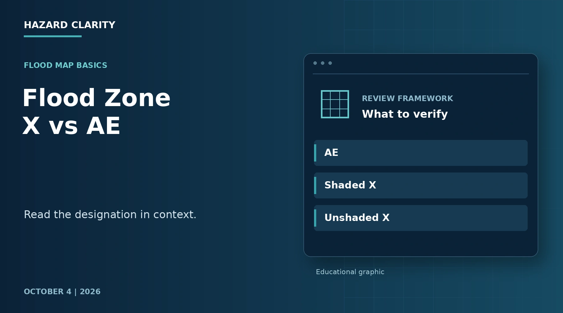
Flood Zone X vs. AE: What the Difference Means for a Homebuyer’s Next Questions
Flood Zone X and Flood Zone AE are FEMA map designations that help describe mapped flood hazards. AE is within the mapped high-risk area associated with the base flood, while Zone X identifies areas outside that Special Flood Hazard Area. Zone X can be shaded or unshaded, and that distinction matters when reading the map.
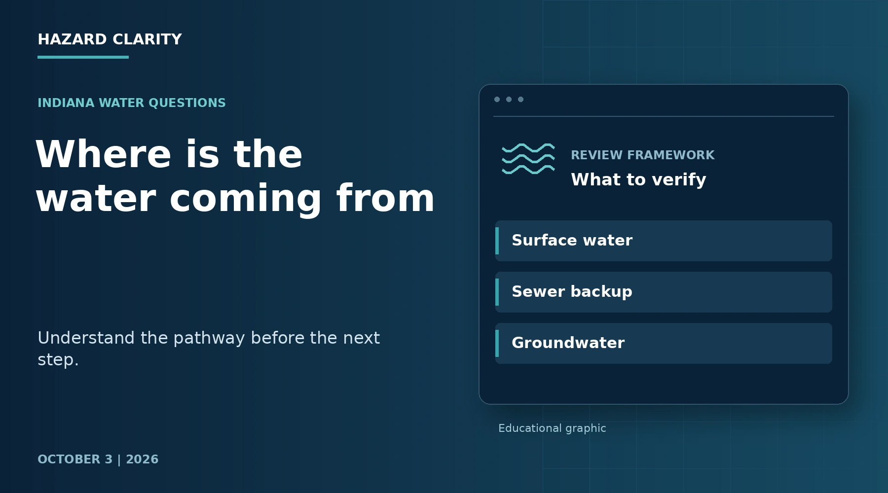
Flooding, Sewer Backup, or Groundwater? How to Understand Water Around an Indiana Home
Water in a basement is a description of what you see, not a complete explanation of what happened. For an Indiana homeowner or buyer, the useful next question is where the water came from and how it reached the space. Surface flooding, sewer backup, groundwater seepage, and plumbing problems can require different evaluations and different insurance conversations.
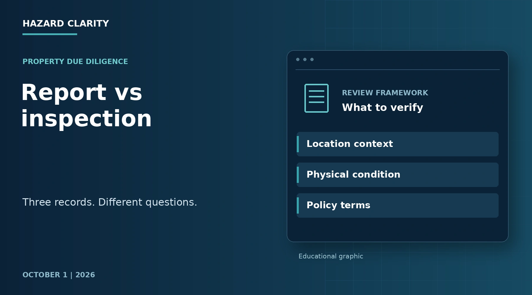
Home Hazard Report vs. Home Inspection: What Each Helps You Understand
A home hazard report and a home inspection answer different questions about the same property. A hazard report organizes information about the location and conditions that may deserve attention. A home inspection examines the accessible physical condition of the home within the inspector’s agreed scope. Together, they can help you prepare more useful questions before you commit to a purchase.
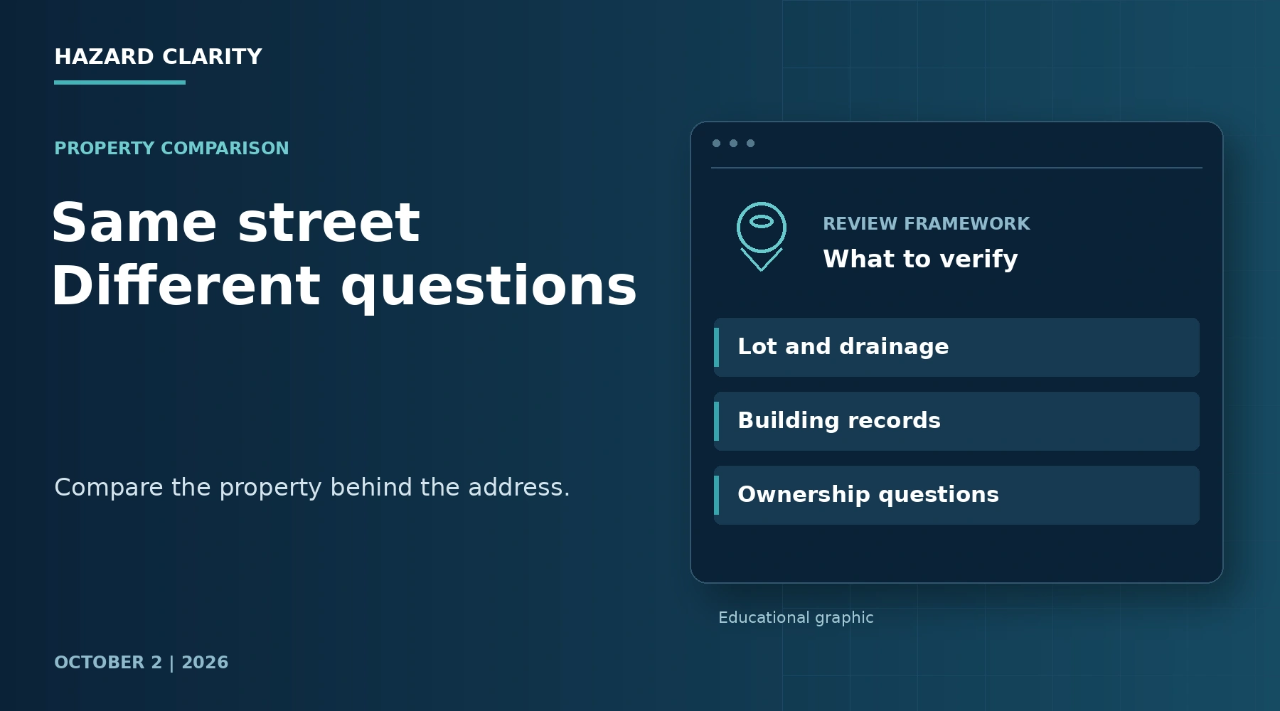
Why Two Homes in the Same Neighborhood Can Have Different Hazard Exposure
Two homes can share a street, school district, and nearly identical floor plan while presenting different property questions. Neighborhood context is useful, but it does not describe every lot, building, or access route. Small differences in elevation, drainage, vegetation, construction, and maintenance may change what deserves a closer look.
Flood Warning this morning in eastern Nebraska and southwest Iowa: what homeowners should know now
A Flood Warning is in effect until 1:00 PM CDT for Fremont and Mills (IA) and Cass, Gage, Johnson, Lancaster, and Otoe (NE) after 3–6 inches of rain. Here’s what it can mean for your home and what to do today.
St. Joseph Flood Warning: What rising Missouri and Platte rivers mean for homes
A Flood Warning is in effect for the Missouri River at St. Joseph and the Platte River near Agency, affecting Buchanan & Andrew (MO) and Doniphan (KS). Forecast crests suggest minor to moderate flooding and potential low‑lying access impacts.
Wapsipinicon River Flood Warning near De Witt at 12.3 ft (moderate): What this means for homes in Clinton and Scott Counties
A continuing Flood Warning covers the Wapsipinicon River near De Witt 4S, with moderate flooding around 12.3 ft, a near-term crest, and a fall below flood stage expected early Thursday. Here’s what that level means for access, property exposure, documentation, and insurance basics for homeowners in Clinton and Scott Counties.
Mississippi River Flood Warning in Pike and Ralls: What it means for your property
A Flood Warning is active along the Mississippi River near Clarksville and Louisiana, affecting parts of Pike (IL/MO) and Ralls (MO). Learn what river-stage thresholds mean for roads, access to riverside homes, and how to document any issues around your property.
Mississippi River Flood Warning at Hannibal and Louisiana: what homeowners in Marion County, MO and Pike County, IL need to know
A Flood Warning is active for the Mississippi River at Hannibal with minor flooding forecast, and the Louisiana, MO gauge helps with timing. Here’s what that means for homes and access in Marion County, MO and Pike County, IL, and what to do next.
Saint Marys River Flood Warning near Decatur: What this means for homes in Adams, Allen, and Van Wert
The National Weather Service extended a Flood Warning for the Saint Marys River near Decatur, affecting parts of northeast Indiana and northwest Ohio. Minor flooding is occurring with a recent stage of 19.0 ft (flood stage 17.0) and levels are forecast to fall below flood stage early Friday.
District of Columbia A Family Readiness Plan That Starts With the House
A useful readiness plan connects a household's communication and shelter decisions to the way people actually use the home. Built for District of Columbia homeowners, buyers, and household decision-makers.